
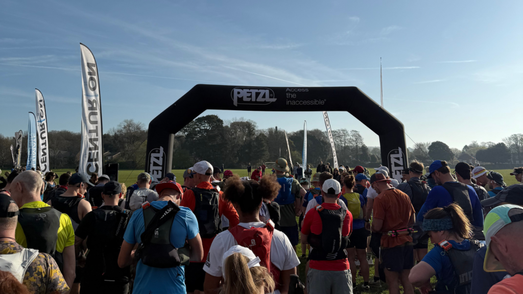
South Downs Way 50
Hill Barn Lane, Worthing, West Sussex → Eastbourne Sports Park
- Distance
- 50.0 mi / 80.5 km
- Course
- Point-to-point
Distance
50.0 mi / 80.5 km
- Date 10 April 2027
- Start time 08:30
- Cut-off 13 hours
- Climb 1,750 m
- Entry fee £118
- Field limit 500
The South Downs Way 50 is the sister race to the 100 miler in, acting as a bridge between the shorter 50K and the longer distance race. Over the course of this page I run through what it’s like the run the race including how to get to the state, what the course is like and what I thought of each aid station.
Getting to the start
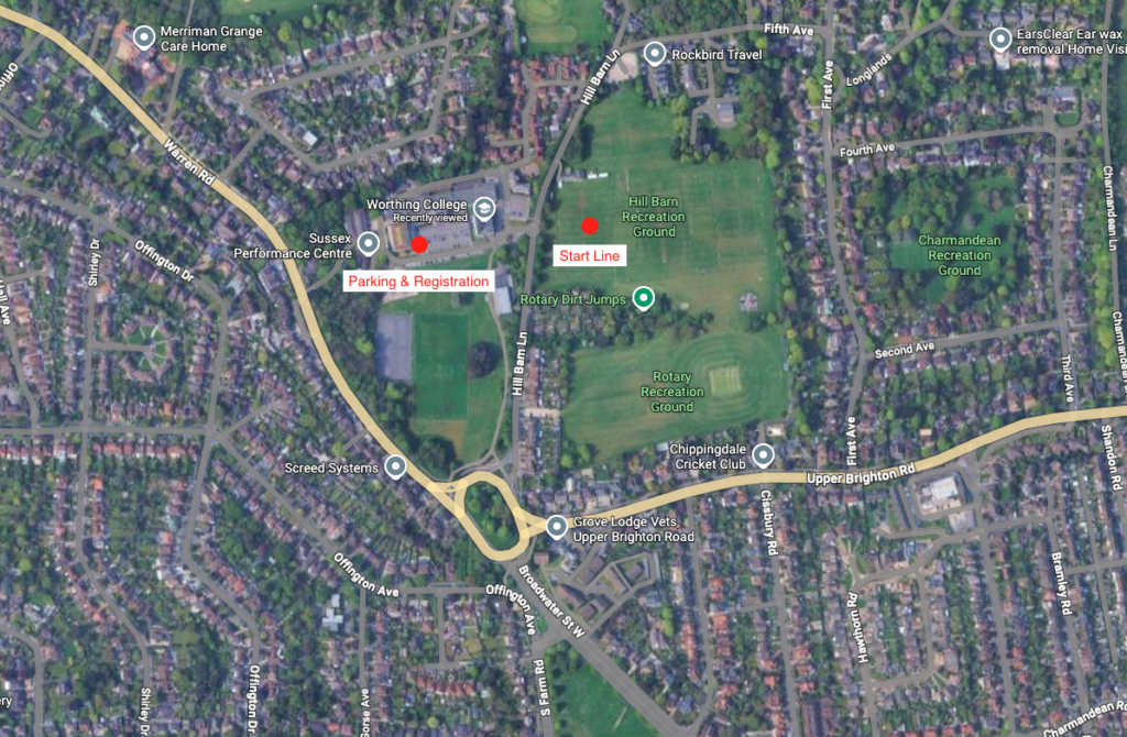
The race start is situated at Hill Barn Recreation Ground, which is adjacent to Worthing College. This is on the outskirts of the West Sussex town, however, it is very easy to find by both road and public transport. There is a roundabout on the A27 trunk road close to the start area and Worthing railway station is a 1.4-mile walk (or jog) away.
How to pick up your number and tracker?
Registration opens on the morning of the race and is easy to find inside the college itself. You enter the room, pick up your number and this is then linked to your tracker that is taped onto your hydration vest. You’re then all set.
Can you camp by the start?
No. As this race is a smaller affair than the South Downs Way 100, no camping is available by the start. There is plenty of accommodation available in Worthing
What else is in the start area?
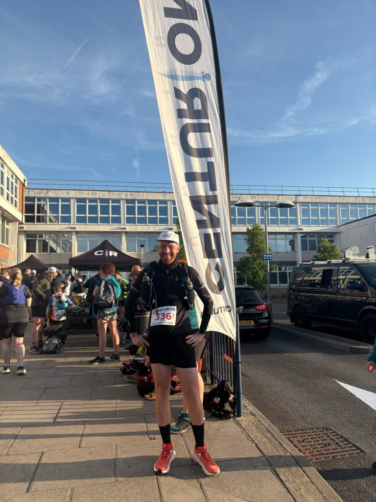
It is a smaller start area than the 100, but still has the Centurion Ultra Running Store to pick up anything you may have forgotten. There are also plenty of toilets.
The SDW50 is unsupported – no crew or pacers are permitted at any point. Unlike the 100, you cannot rely on anyone meeting you on course. Your vest needs to carry everything you need between aid stations.
The route
The start line is in a recreation ground opposite the college and as such is easy to find. Anyone who has done another Centurion race in the past will see the familiar arch, music and the klaxon to set everyone off.
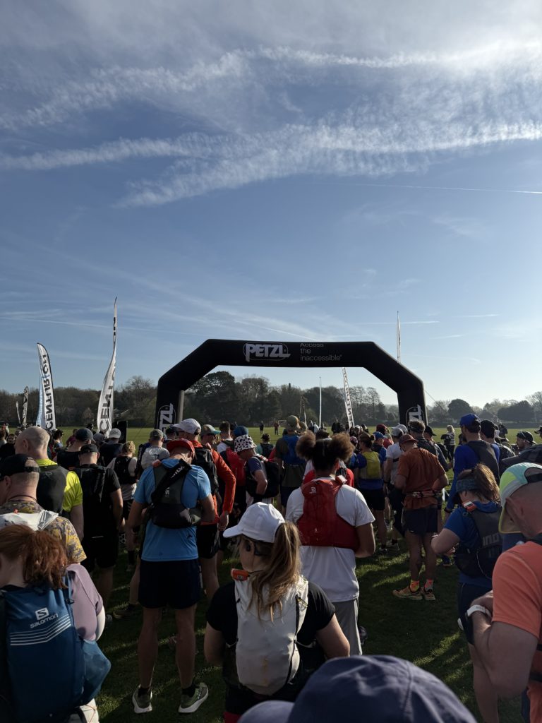
It’s a short run across the field before the race goes through a reasonably small gap where the field bunches up and it does remain fairly crowded for the next mile or so. It’s the start of a race with 400-500 runners so is to be expected and if you want to avoid it then get to the front of the funnel.
The route skirts the edge of a golf course and ends up at Cissbury Ring before following farm tracks down to the Wiston Estate. You then take a quick down and up prior to a grinding uphill where you join the South Downs Way just before Chactonbury Ring.
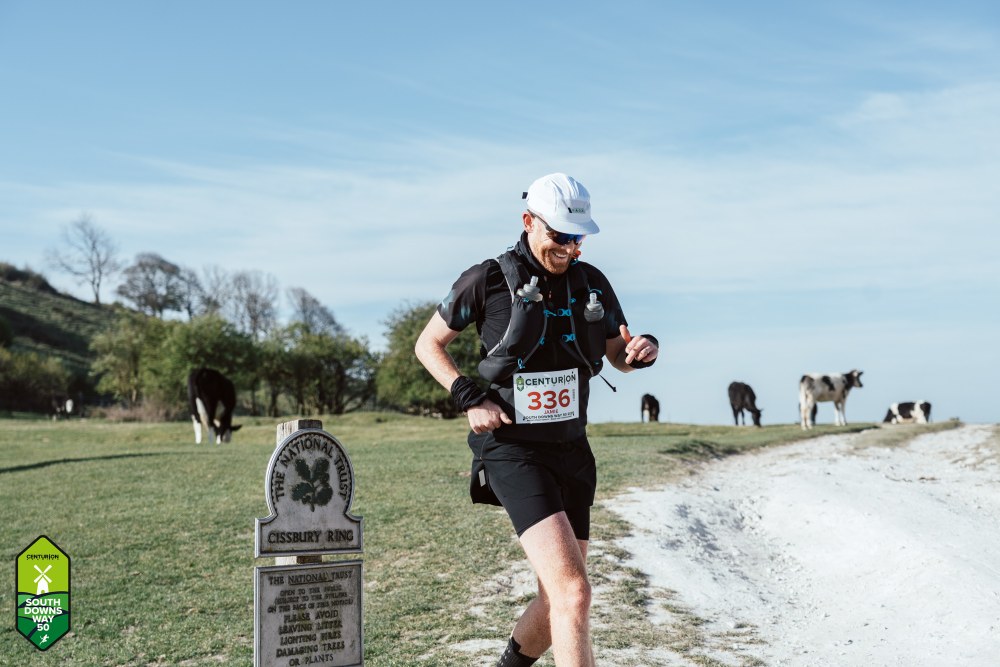
From here on in, you take the exact same route as the South Downs Way 100 with the main tips that it tends to be warmer for runners in the 50 miler when you reach this point.
Don’t go off to hard at the start. With the bunching up at the start, I ended up going out too hard in the first six miles or so and suffered when I hit Ditchling Beacon, which is around the marathon point.
You follow the route along the side of some woods before reaching a gate that leads to a short downhill. The chalk path that follows is rutted and flinty in places so mind your footing – it’s an easy place to lose concentration when you’re feeling good.
The path ends at the Langmead Memorial and a short downhill to a road crossing. Run alongside the road for a few minutes before a left turn into a field. You’ll spot the notorious pig farm in the distance and from there it’s only a couple of miles to the aid station at Botolphs.
After passing the pig farm on your right it’s downhill almost all the way. When you reach the road, turn right and follow it down the hill to a small car park. The aid station is seconds further along.
Exit and follow the path to the River Adur. Cross the bridge and continue straight ahead. There’s a water tap in the shade on the right and then a busy road crossing with a marshal. The climb up Beeding Hill that follows is a grind and one of the places I reached for my poles. It’s uphill most of the way to Truleigh Hill YHA.
Taps and toilets at Truleigh – there’s no toilet at Botolphs, but Truleigh Hill YHA is around 20 minutes further along and is a good option.
After Truleigh Hill there are three hills to navigate. It’s after the final one that you get a clear view ahead before the descent towards Saddlescombe.
Just after the brow you cross the road and head along a path for just under a mile before a sharp downhill to the main road. Saddlescombe aid station is right there. Unlike the larger stops later in the race, there is no hot food here – stock up on what is available and keep moving.
Water between Saddlescombe and Housedean Farm – the gap between these two aid stations is significant and in warm conditions I ran out of water on this stretch. Fill up completely at Saddlescombe and do not assume you can top up in between.
The climb out of Saddlescombe is typical of this race – steep up, then a descent before crossing the A23. From there it’s a tarmac path past a church, through a small village, and watch carefully for the SDW signpost that takes you off the road. Cross at Pyecombe Golf Club and take the uphill path alongside it.
You run beside the golf course for about three quarters of a mile before a left turn brings you up to Clayton Windmills. A distinctive landmark and a good psychological marker – from here the finish starts to feel achievable. In warm conditions this exposed section can take it out of you so make the most of any shade you find on the way up.
From Clayton Windmills it’s a short climb before undulating ground all the way to Ditchling Beacon. Take care crossing the main road and then you’re on runnable terrain with good views towards Newhaven.
The next moment that requires concentration is a right turn just before Blackcap, clearly signposted as the South Downs Way. Don’t take the gate straight ahead – that road leads down into Lewes.
A short wooded section leads onto the edge of a farmer’s field. Through a gate, take a left towards Housedean Farm. When the field runs out, take a right. It’s downhill, then a steep climb through woods, and after the gate at the top a fast descent to the A27.
Housedean Farm aid station is around 50 metres from the road. It’s one of the larger stops – indoors, plenty of seating, and a drop bag point if you’ve sent one. I had a bowl of pasta here and it was exactly what I needed at that point in the race.
Cross the road bridge over the A27 and follow the path to a sharp uphill that turns into a steady climb lasting the best part of two miles – there’s a left turn partway up. At the top, a descent leads across grass for half a mile above the village of Kingston below.
Another uphill and an undulating ridge run gets you to the Yellow Brick Road – a downhill track into the next field. As you cross the second field you pass over the Greenwich Meridian, roughly 17 miles from the finish.
From here a sharp downhill leads to a farm track with plenty of pot holes – take care. Follow the SDW sign at the end, cross a main road, and follow the road over the river to Southease station. Cross the railway using the footbridge – doing otherwise risks a time penalty. The aid station is a short way up the road on the other side, third from last.
Three major climbs stand between you and the finish. The first is up Firle Beacon, which starts immediately after the aid station. In April the climb comes in good light and with the views back across the course from the top it’s one of the more rewarding sections of the day.
After the trig point on your left and a communications mast on your right, it’s steady uphill to the summit then mostly downhill towards Bo Peep car park.
From Bo Peep it’s a quick climb then mostly downhill to Alfriston aid station, two miles away. Follow the SDW finger posts and take care on the final descent – it gets flinty. Into Alfriston, right at the road, then left down a narrow path between two buildings. The aid station is on the left inside a church hall.
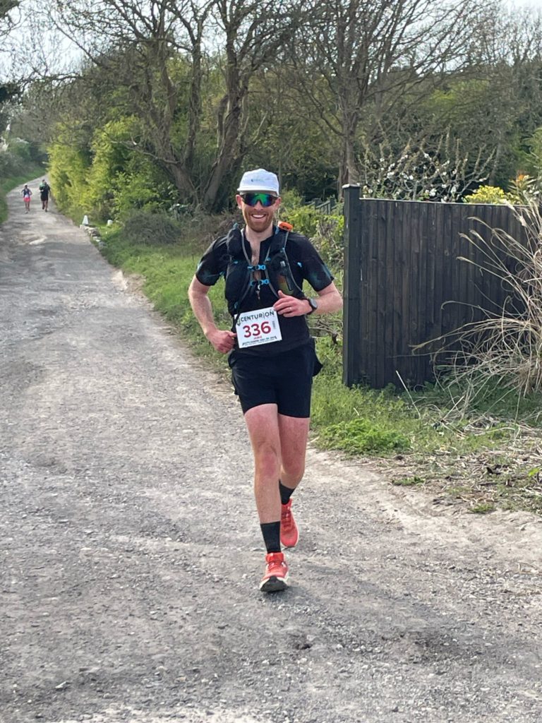
Exit the aid station and continue down the same path. Cross the bridge and carry straight on, ignoring the alternate SDW route to the right. Through a gate on the left, follow the path alongside the flood plain keeping right. Through the gate at the end of the field, cross the road and head uphill. A road crossing follows before the climb around the hill with the Long Man of Wilmington carved into its side.
At the top, fields lead to a gate marking the start of the descent into Jevington. On the first descent watch for a slight right turn – beyond it the path has plenty of roots so concentrate.
At the church, left along the graveyard edge and down the steps to the road. The final aid station is up a path on the left inside a village hall. If you don’t need it, continue down the road and take the SDW fingerpost turning.
Take the correct left turn – there is a left turn just before the right one. I took the wrong one on the day. It’ll cost you a couple of minutes when you realise.
Almost there. The next climb goes most of the way to the trig point and the gulley of doom – the most runnable of the final three uphills, especially early on. The gulley is well signposted at the top but worth recceing if you can; it’s steep and I’ve seen people come off it badly.
At the bottom you reach a short road section before a right onto a flat trail for about half a mile. Through the gate, slight left across the road, then straight ahead on tarmac. If you’ve got anything left, now is the time.
Right at the end of the first road, cross over, then follow the pavement to the roundabout by the hospital. Dip down onto the path through the woods – this is your run to the finish. I found another gear here and passed a handful of runners on the way to the track.
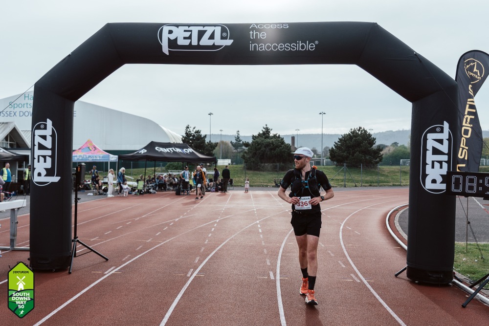
Up the road to the track, right to enter it, then a 400 metre loop and you’re done. Medal, food tent, and the quiet satisfaction of having covered 50 miles of some of the best trails in England.
What do the course markings look like?
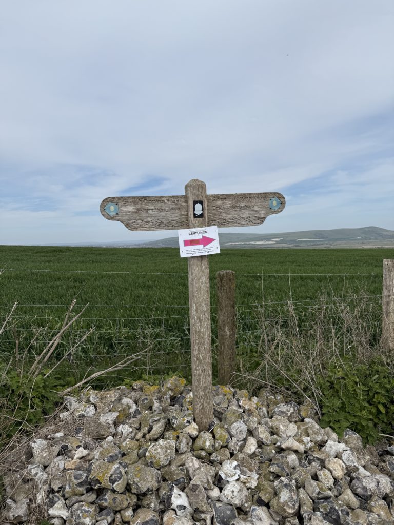
Every Centurion race has the same pink markings. These consist of pieces of heavy duty fabric hanging from trees and pink arrows, which you can see in the image below. At night, these glow in the dark and make it easy to find the correct way to go.
What is each aid station like
One of the things that marks out Centurion as a leader when compared to other races is the aid stations. The volunteers are all knowledgable and the items on offer means that fuelling your race is made easy. The table below gives a quick snapshot comparing the key points of each aid station.
| Aid station | Mile | Size | Toilet |
|---|---|---|---|
| Botolphs | 60.9 | Small | ❌ |
| Saddlescombe Farm | 66.6 | Medium | ✅ – public |
| Housedean Farm | 76.6 | Large | ✅ |
| Southease | 84 | Medium | ✅ |
| Alfriston | 91.6 | Medium | ✅ |
| Jevington | 95.7 | Small | ✅ |
Every aid station is well stocked with plenty of fuel and I’ve created a table below to give you an idea of the different options in each fuelling category.
| Category | Options |
|---|---|
| Electrolyte drink | Precision Fuel & Hydration 1000 |
| Carbohydrate drink mix | Tailwind |
| Gels | Precision Fuel & Hydration 30g gel. Gu Gels |
| Chews | Precision Fuel & Hydration 30g chews |
| Cold drinks | Water, Coke/Pepsi |
| Sweet cold food | Chocolate, sweets, biscuits, cakes |
| Savoury cold food | Crisps, sandwiches, wraps, mini sausage rolls, mini vegan rolls, salted boiled potatoes |
Aid station Tailwind is weak – If you are expecting the same level of carbohydrate as you find in a single stick pack then you’ll end up being under-fuelled. The Tailwind served at aid stations is more diluted and I only used it later in the race when my stomach was not playing ball with higher carb content drinks.